|
Regional History History of Timbering County Histories Calhoun County Franklin County Gadsden County Gulf County Jackson County Liberty County Wakulla County
Photos |
History: Wakulla County Maps

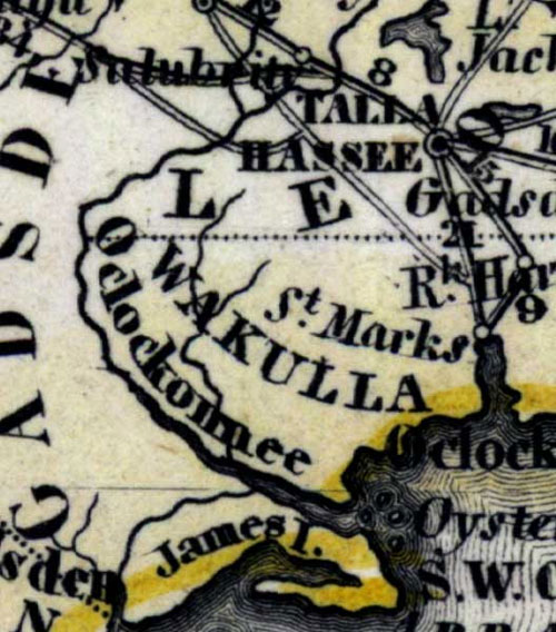
Wakulla County Map 1850, Aus der Gravisanstalt des Bibliographischan Instituts zu. Hillsburghaus Amsterdam Paris u. Philadelphia Map. Wakulla County was founded in1843 from Leon County.
Map Credit: Courtesy of the Special Collections Department, University of South Florida. Digitization provided by the USF Libraries Digitization Center.
Note: The content of the website has not been updated since 2005. The site remains online for it's value as legacy content and is unlikely to be updated.